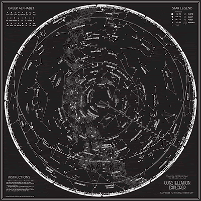
Do you prefer Corona Australis to Corona Borealis? Is "Southern Cross" more to you than just a great Crosby, Stills, & Nash song? When you saw Constellation Explorer: A Compass to the Northern Sky, were you all like "Yeah, but where's Alpha Centauri?" Fear not, friends. Constellation Explorer: A Compass to the Southern Sky is here! Marvel at the majesty of the Magellanic Clouds! Wonder at the counter-clockwise progression of the days! Rejoice in the discovery that there's a whole other sky down there! Head over to the Municipal Prints site and order yours before the Earth's axial precession makes the whole thing inaccurate!* And oh yeah, I made it.
*Don't worry, this will take a few thousand years. You'll be long dead.


 Mt. Whitney to Badwater Basin: A Topographic Profile